Long Distance Hiking, PART ONE: Committing and planning.
I've been sitting on my thoughts, photos, and impressions that I took away from a little hike I did earlier this year, and now that I've booked another hike for next year, I better get to putting my fingers on the keys (and not sob about it no longer being 'pen to paper'). Let's start at the beginning, with how I managed to put this together in the first place.
There are so many reasons why a person would decide to walk across a country, alone, so really it seems odd to present MY reasons as why anyone else should do it. I feel, though, that not enough people do things like this. Often we don't realize that 'getting away from it all' does not mean dropping a month's wages on an all-inclusive in Mexico. People need to know that if they need to get away, that they can. It's ok to need to escape sometimes, so that you can actually stay put. I think our society puts so many shackles on our behaviors, and what is acceptable and what is it. We are required to always be happy, always accept reality, and also be okay with being told we can't do things due to conventional restrictions. Challenge that. Refuse to ignore yourself and insist that you find out what you are capable of. We are so insulated and coddled from meaningful challenges each day, that we lose the feeling of self-satisfaction that comes from doing things that are outside our comfort zone. Also, physical activity heals many ailments, plain and simple. Do it. A lot.
My mind was telling me I just had to go, so next was picking where. My internal divining rod shouted back at me 'SOUTHWEST ENGLAND! WHY IS THIS A QUESTION??!!' and I listened. We had visited a couple years ago, and I was overcome with a need to walk all over it constantly ever since we only stayed 2 days, and I only got to ramble through a wooded path and a small churchyard to get to dinner. Practically speaking, though, Britain presents many advantages for wild walking that aren't found in the US. There are no large animals of prey, no poisonous insects and scorpions, there are no vast areas of wilderness in which to get lost 100 miles from the nearest road, and it just doesn't feel full of serial killers the way the American countryside does. (yes, I know that's ridiculous, but i'm the one picking where i'm going walking, so....) I tried to find crime statistic about hikers being attacked or robbed or abducted, and I simply couldn't. The police reports never got more serious that 'parked car was reported scratched while owner was walking his dog on the moors' or 'hikers called for rescue when the heavy mists settled in and they had forgotten their waterproofs.' I booked it, then started planning.
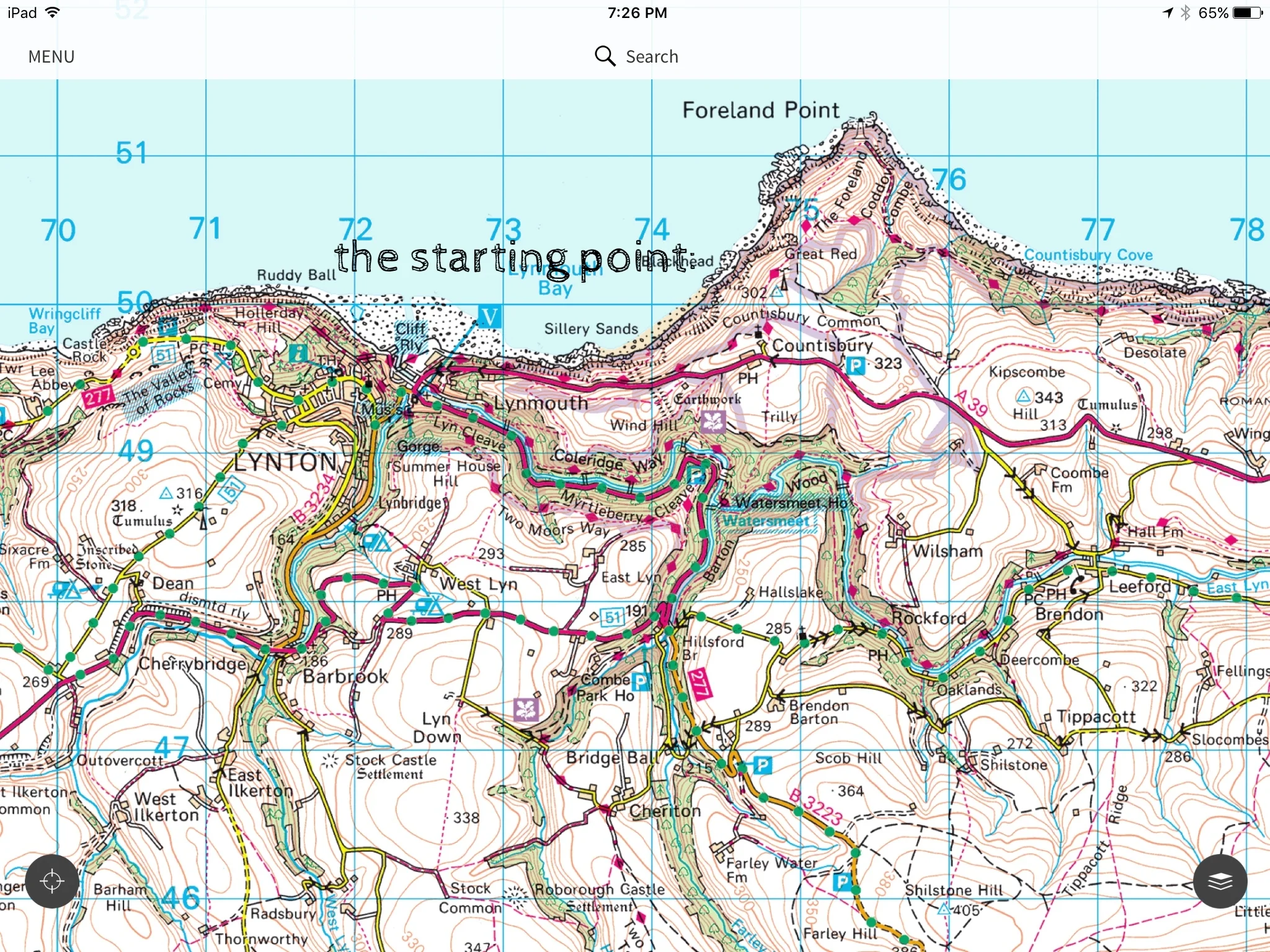
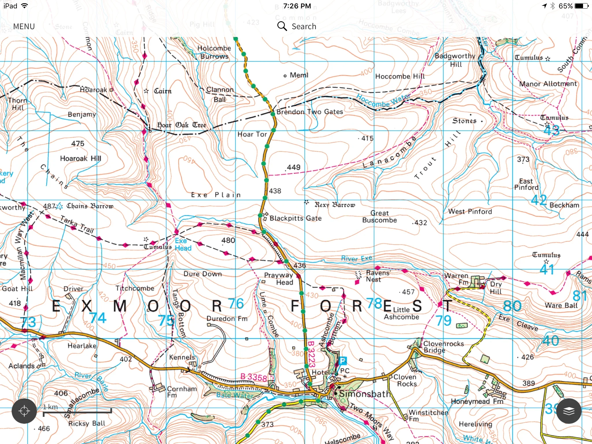
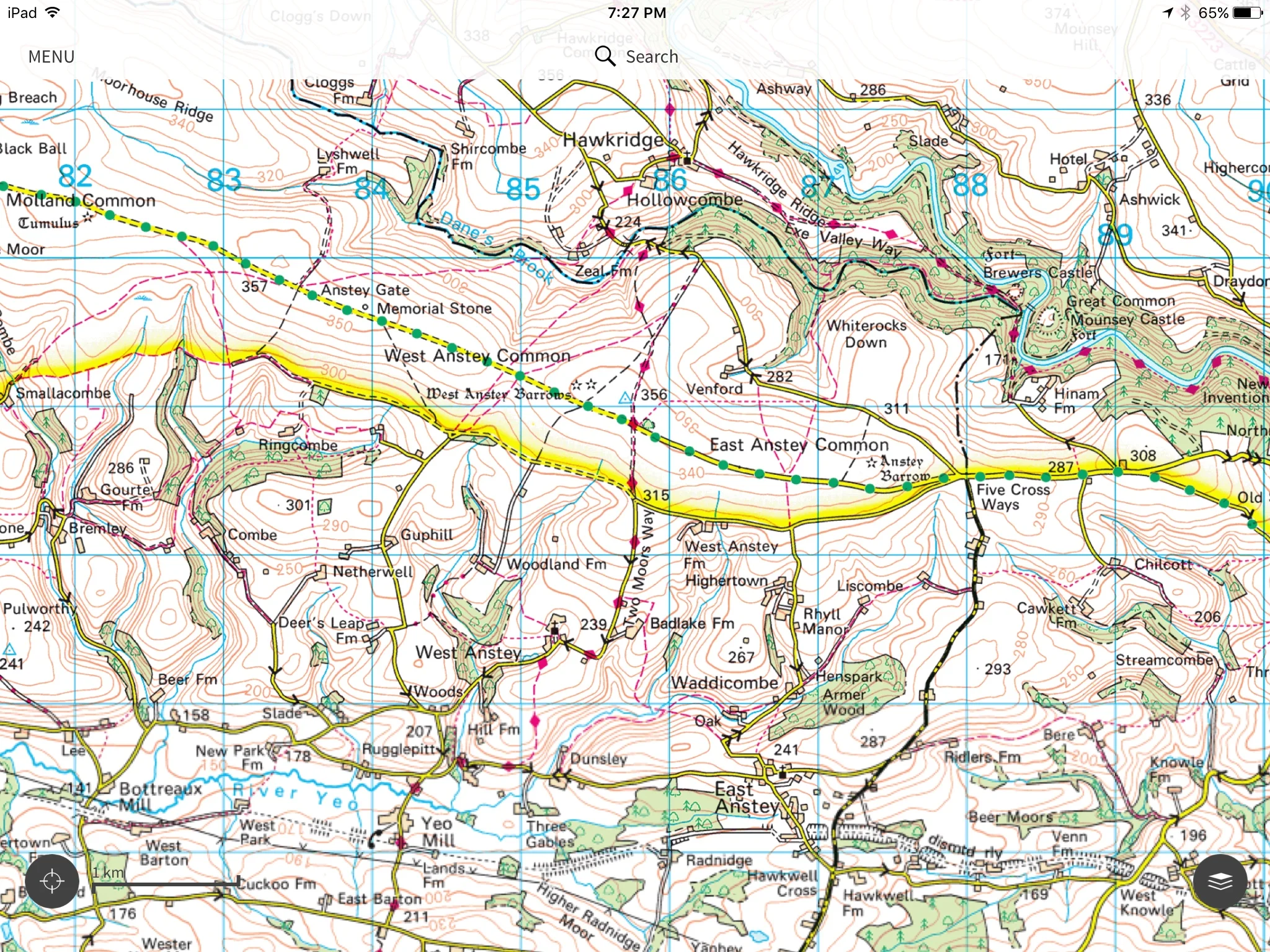
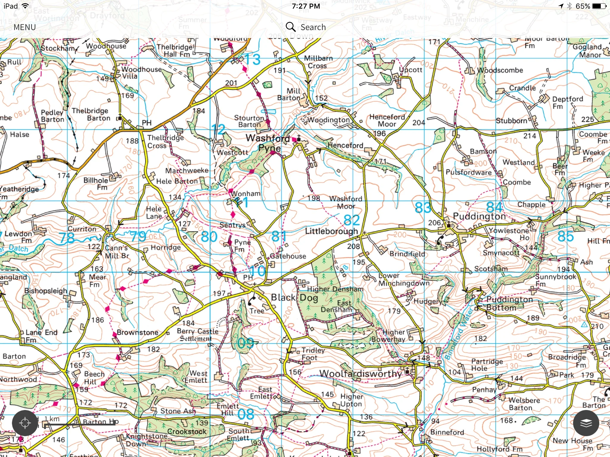
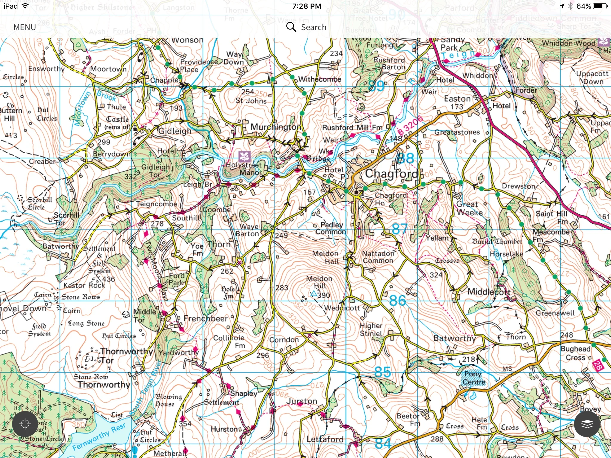
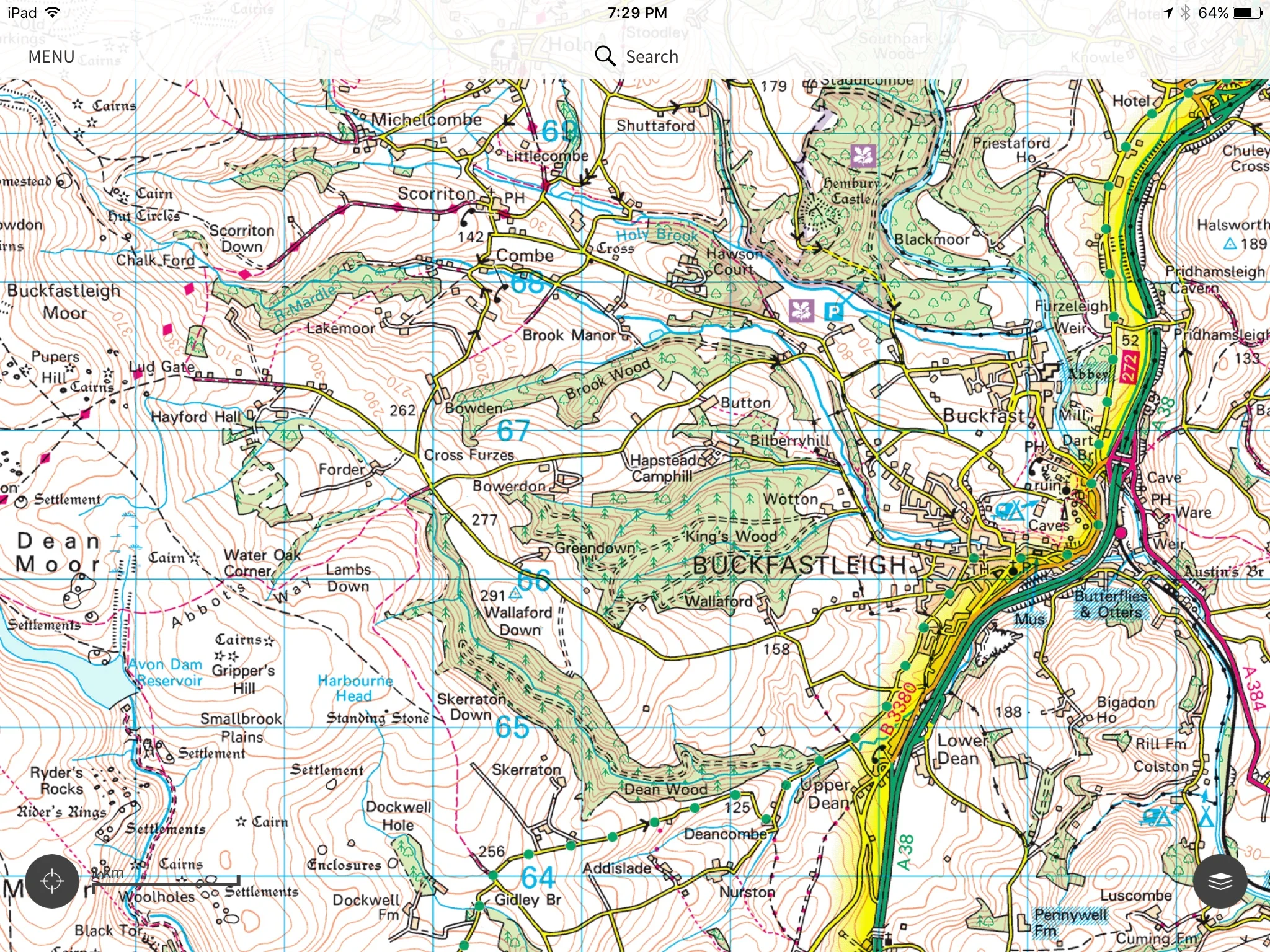
When plotting my route, I downloaded and joined the Ordnance Survey apps and website - www.osmaps.com - and completely immersed myself in their incredibly detailed and tantalizing maps. Yes, tantalizing! It does make you feel confident, too, that you will never be lost and that everything on the map is WORTH mapping, if that makes sense. I mean, if that Hoaroak Tree and the Ruined Cross(as opposed to a non-ruined cross?) is painstakingly marked and charted, it must be worth flying across the world to find. I looked for a route that got me from one particularly stunning beach on the Bristol Channel to an equally stunning beach on the English Channel. That felt like a good way to bookend the trip, and it would give me the ability to use the Two Moors Way for the majority of the walk. The Two Moors Way is famous, so of course it will be very clearly marked at all times, and I'll never find myself wandering randomly in a sea of moorland grass, free of all landmarks and phone signal, right???
After much stalking of beaches in SW England within reach of the TMW, I settled upon Lynmouth as my setting off point. It's the official northern end of the TMW, so it's very unlike me to accept it as my choice, since I like to always break the rules, but it did look lovely, and had lots of affordable accommodation options. Next I chose Blackpool Sands as my finale, at which point I determined I was needed to walk 13-20 miles per day to complete it in the 8 days I gave myself. Plotting a course that jumped from B&B to B&B and allowed for no catching of Ubers or trains was a bit challenging, and didn't give me too many options regarding points of interest. The goal was to just make it across, though, and hope for good weather. It was a bit of a struggle to know all the places I'd be missing, though, as SW England is far past capacity in enchanting landscapes.
While fine-tuning the route, I would also investigate weather averages, conditions underfoot to be aware of, and double checked the crime situations, just to be prepared. I did purposely avoid overdosing in intricate knowledge of every little bit of the route, though. I wanted to be surprised, and surprised often. Looking back now, i'm so glad I didn't know about the cows, the private landowners I would encounter, the proliferation of gluten-free brownies, and the amount of actual cell coverage I would have along the route, in addition to anything about the Barle Valley. That's a surprise that will be a challenge to write about, as it left me speechless.
Next up: TRAINING.....

